

Technical work in context
Assignments spanning global data foundations, continental hydrography, regional river networks and practical decision-support tools.
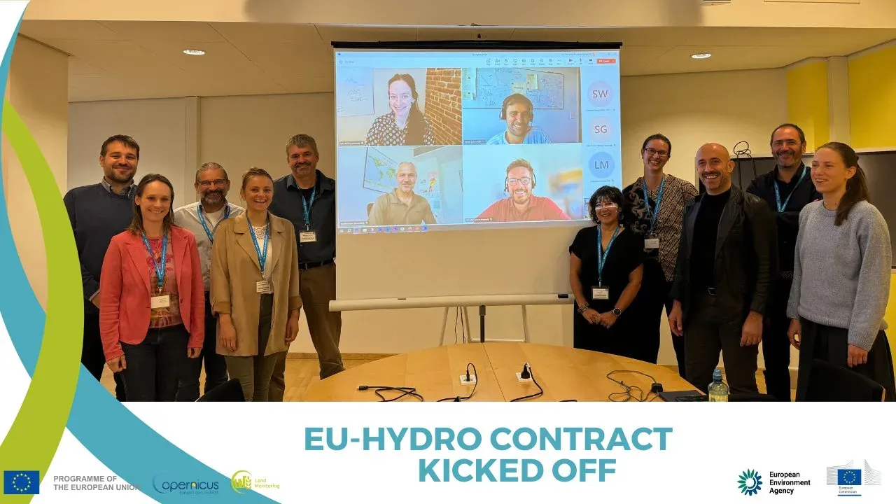
EU-Hydro project team workshop
EU-Hydro 2.0: Reference hydrographic dataset for Europe
Next-generation open-source hydrographic datasets designed to strengthen Europe's water resilience.
Europe, European Environment Agency (Copernicus Land Monitoring Service), 2024–present
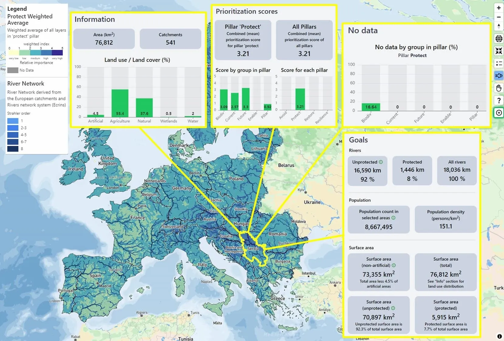
Freshwater prioritization decision-support map
Freshwater prioritization tool for Europe
A spatial decision-support tool for prioritizing European freshwater conservation interventions.
Europe, The Nature Conservancy Europe (Freshwater Team), 2022–2024
Decision support & web mapping, River networks & connectivity
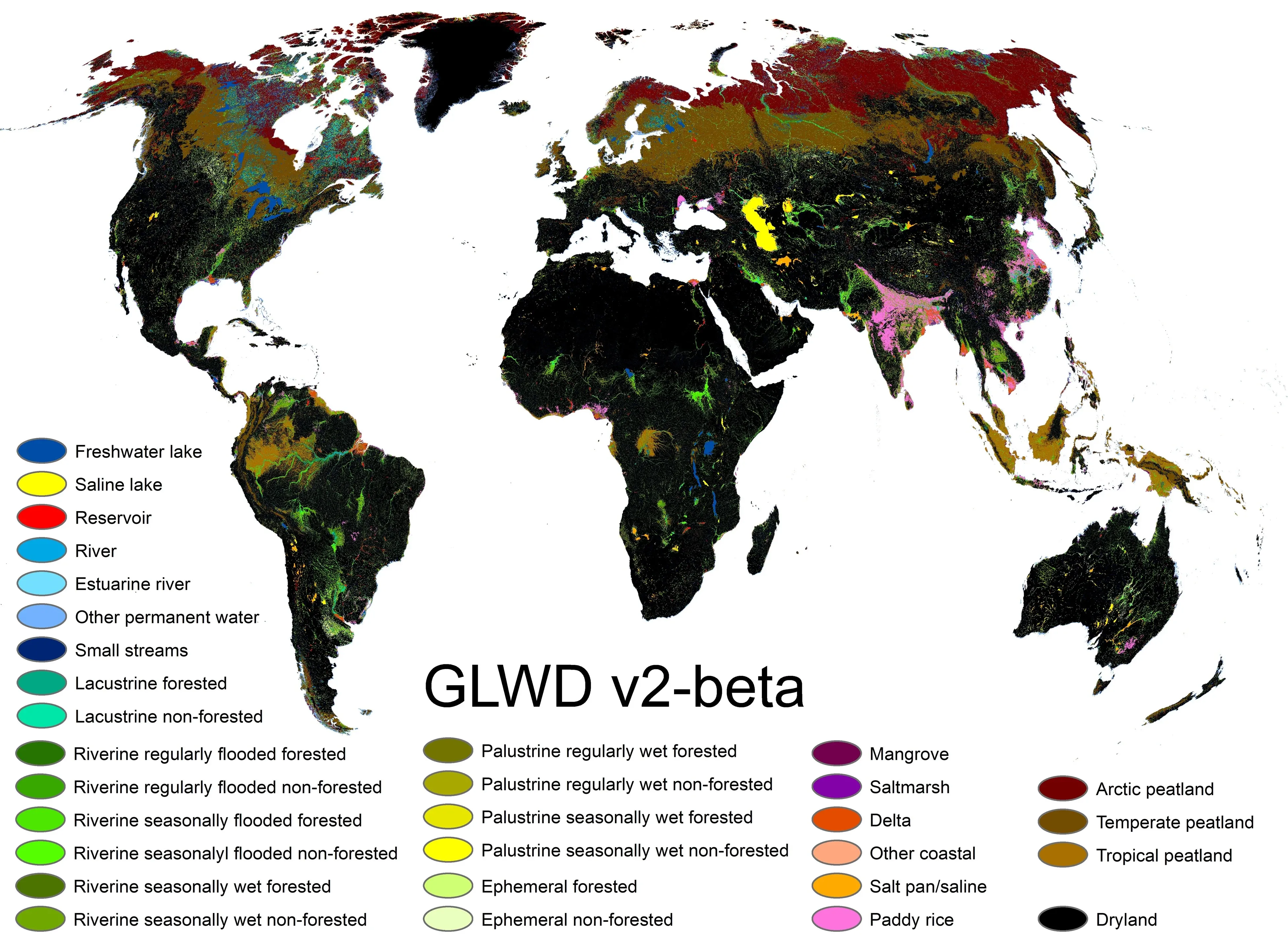
Global inland waters map
Global Inland Waters - 30x30 indicator
Indicator development, classification guidance and global maps for the Global Biodiversity Framework's inland-water target.
Global, The Nature Conservancy, 2023
Hydroinformatics, GIS & remote sensing, Decision support & web mapping
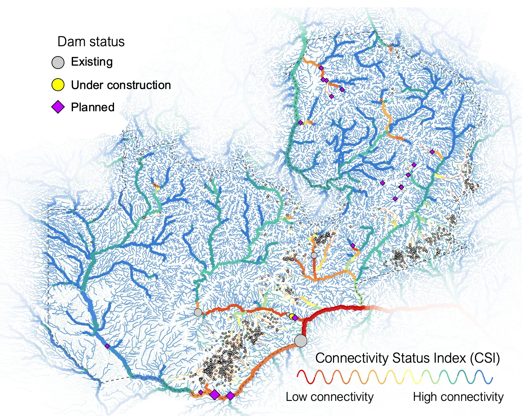
Hydropower configuration scenario map for Zambia
Hydropower configuration scenarios for Zambia
Integrated spatial scenarios supporting hydropower planning and protection of high-value river systems.
Zambia, WWF-Zambia, 2021–present
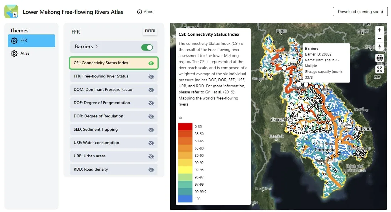
Map interface used for the Mekong connectivity assessment
Mekong River connectivity assessment and toolbox
Updating the free-flowing river assessment for the Lower Mekong region through a dedicated connectivity toolbox.
Lower Mekong region, WWF-US / USAID, with WWF-Greater Mekong, 2022
River networks & connectivity, Decision support & web mapping
Connectivity indices for protected areas in Canada
New river-network connectivity indicators supporting protected-area assessment in Canada.
Canada, Environment and Climate Change Canada, 2019–2021
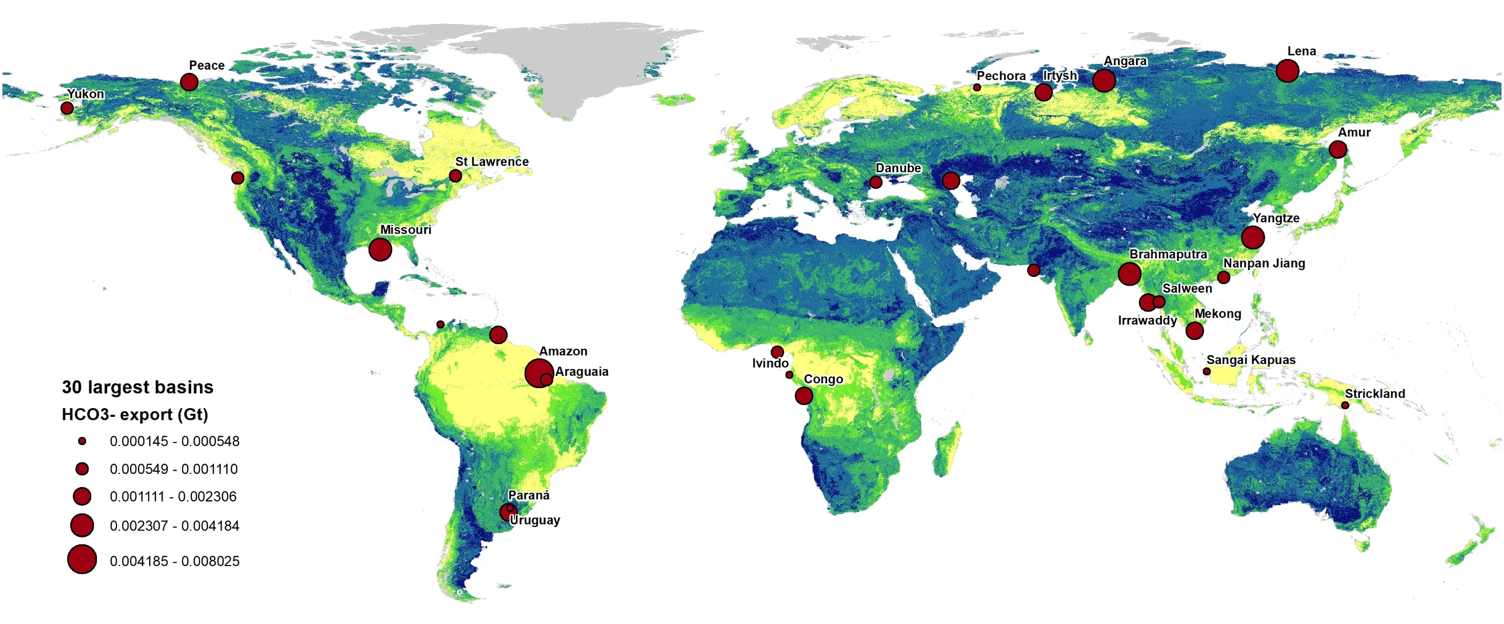
Global model visualization for bicarbonate export
Global bicarbonate export and CO2 sequestration potential
Global river-network analysis of bicarbonate export and its potential contribution to carbon sequestration.
Global, CarbonRun, 2022–present
Identifying Key Biodiversity Areas in Canada
Spatial freshwater analysis contributing to the identification of Key Biodiversity Areas.
Canada, Quebec Centre for Biodiversity Science (QCBS), 2020
Planning a related assignment?
Tell us where specialist hydroinformatics or geospatial capacity would help.