

Context
EU-Hydro 2.0 is an upgrade of the reference hydrographic dataset for Europe, supporting consistent river and catchment information at continental scale. The work covers the river basins of the EEA38 and UK area, plus upstream and downstream catchments.
Confluvio’s role
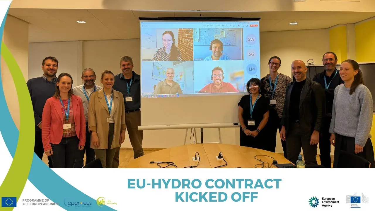
Confluvio is a member of the international consortium upgrading EU-Hydro, led by GAF with Telespazio Ibérica, e-GEOS and DLR. The project began in 2024 and is ongoing, with final release expected in 2027.
Methods and data
The methods combine a hydrologically conditioned DEM from the 10 m TanDEM-X-based Copernicus DEM, supported by the 30 m Copernicus DEM, with the best available hydrographic and land-cover ancillary data and satellite imagery. The product suite comprises three raster products (Hydro-DEM, Hydro-DIR, Hydro-ACC) and five vector products (Hydro-NET, Hydro-WBO, Hydro-BAS, Hydro-ART, Hydro-COAST).
Results
The result is a harmonized, consistent reference hydrography for Europe, usable for hydrological modelling as well as mapping and released as open data.