

Context
Decision-makers needed an updated, spatially explicit view of river connectivity and a practical way to explore pressures across the Lower Mekong river network.
Confluvio’s role
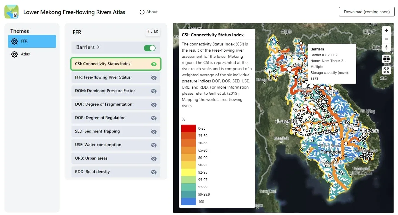
Confluvio conducted an updated free-flowing rivers assessment of the Lower Mekong basin with WWF-US and WWF-Greater Mekong. The work updated and created datasets with regional experts, built a GIS toolbox for free-flowing rivers assessments, and introduced the method and toolbox at a regional workshop.
Methods and data
The assessment applied the free-flowing rivers methodology (Grill et al. 2019) with six pressure indices combined into the Connectivity Status Index (CSI), free-flowing status (FFR) and dominant pressure factors (DOM). The Python-based ArcGIS toolbox requires four inputs: river network, benchmark rivers, barrier locations and lakes.
Results
The work produced an updated GIS geodatabase; river maps of fragmentation, regulation, sediment loss, road and urban development, water abstraction and CSI; a free-flowing status report; the Free-Flowing Rivers toolbox for any basin; tutorials with video guidance; and the Lower Mekong Free-flowing River Atlas web app. It was presented at the regional joint workshop “Rivers of the Lower Mekong Region”, supported by USAID, Stockholm Environment Institute, WWF and the Asian Disaster Preparedness Center.